

Croatia on World Map
Croatia on World Map
(2 Editable Slides)
Product Details
(2 Editable Slides)
Available For
PowerPoint
Keynote
Google Slides
Animation:
No
Related Presentation Templates


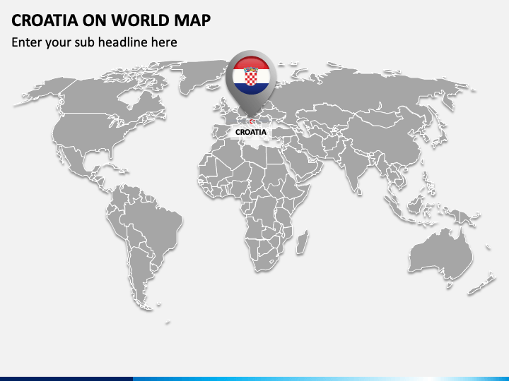
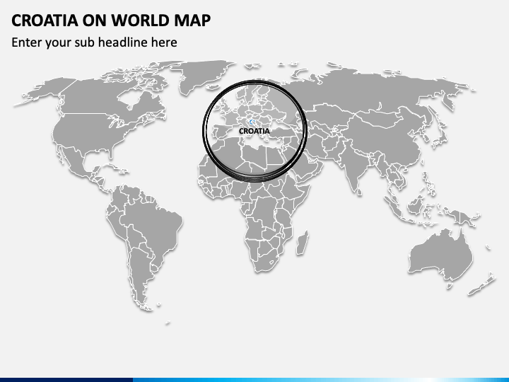
Whether you’re a teacher or a business professional, this Croatia on World Map PowerPoint template featuring impressive map graphics lets you visually discuss different aspects of this European country, including culture, education, natural diversity, etc. Meteorologists can also make the most of these graphics to showcase the weather and climatic conditions of the country. The deck with appealing geographic map illustrations comes in handy to represent the country’s position in the global liveability index, GDP, literacy rate, population, etc.
Spellbinding Features
- You can conveniently modify each graphic according to your objectives without encountering restrictions.
- The vector-based map illustrations look the same, even on a bigger screen.
- No use will experience copyright issues, as everything has been designed after thorough research.
Download this well-designed PPT now to craft impactful and meaningful presentations in minutes!